
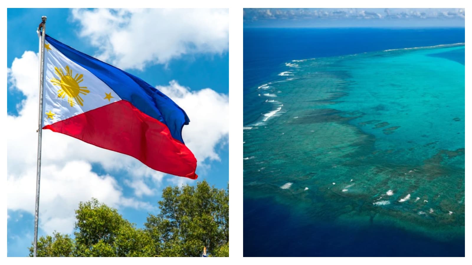
The Philippines have formally deposited their official nautical chart of Scarborough Shoal, also known as Bajo de Masinloc or Panatag Shoal, with the United Nations Secretariat.
In doing so, the nation has asserted sovereign rights and placed its official maritime boundaries on the international public record.
Formal deposit
Philippine News Agency (PNA) reported that the deposit was made pursuant to Article 16 of the 1982 United Nations Convention on the Law of the Sea (UNCLOS), which mandates coastal states to give due publicity to official charts depicting baselines.
Philippine ambassador and permanent representative to the UN Enrique Manalo formally presented National Mapping and Resource Information Authority (NAMRIA) chart number 1567, titled ‘Bajo de Masinloc and Approach’, to UN officials in New York.
The filing was formally registered on July 29, placing Manila’s maritime claims over the disputed islands, located roughly 220 kilometres west of Zambales, on the permanent international record.
The Department of Foreign Affairs (DFA) emphasised that preserving official baseline data with the UN provides legal certainty and protects maritime entitlements, particularly amid evolving coastlines caused by sea-level rise.
Legal position
Philippine Start noted that the submission also strengthens Manila’s legal position under both international law and the 2016 South China Sea Arbitral Award.
The official chart reflects the normal baselines of the atoll and outlines the outer limits of its surrounding maritime entitlement zones as established by Philippine national legislation.
The deposit formally notifies the international community of the exact geographic extent of Philippine jurisdiction at Panatag Shoal.
Under the framework established by the Philippine Maritime Zones Act and UNCLOS, the map features a 12-nautical-mile territorial sea and a contiguous zone extending from 12 to 24 nautical miles, establishing a clear administrative standard for Philippine maritime law enforcement.
READ MORE: Donald Trump says US cancels strike on Iran as deal framework takes shape

Beijing pushback
The initiative created immediate friction with Beijing.
China’s foreign ministry firmly denounced Manila’s filing, declaring the establishment of baselines around the shoal “illegal and invalid”.
Beijing reiterated its sweeping territorial claims over the feature, which it refers to as Huangyan Dao and urged the Philippines to refrain from taking further actions in the contested waters, The Manila Times reported.
Despite China’s objections, Manila re-affirmed its commitment to the rules-based international order and the peaceful resolution of maritime disputes through recognised international protocols.
YOU MAY ALSO LIKE: Experts warn Google’s new AI satellite tool could fuel disinformation
 Carmela Calling
  James Mario Ajero